Casa Grande National Monument, Saguaro National Park & Dispersed Camping in Arizona
- Make The Most of the Dash

- Nov 19, 2021
- 3 min read
Leaving Boulder City, we knew we wanted to follow the warmer weather as we headed southeast towards Phoenix, Arizona. In planning our route, we had decided to visit the ruins at Casa Grande National Monument first.
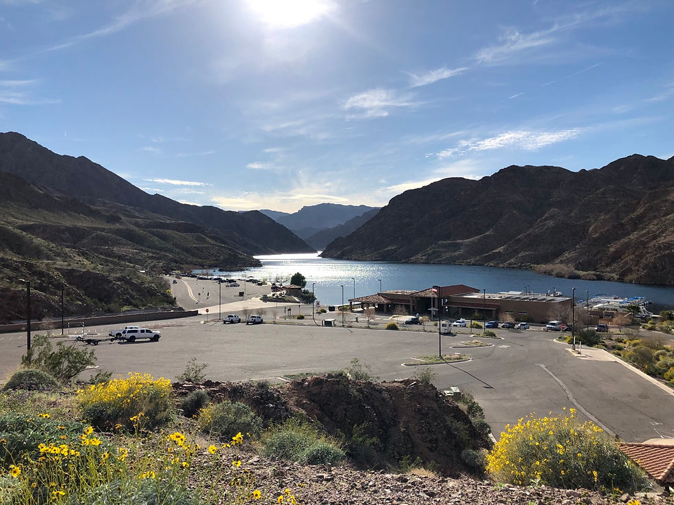
It was a 5-hour drive from Boulder City to Phoenix, and with the sun setting so early these winter days, we knew we needed to find a dispersed camping spot we could get to in time to set up camp before dark. Using our Gaia app, we identified a section of BLM land on the southeast side of Phoenix in Cottonwood Canyon. We fine tuned this search using iOverlander for recommendations and photos for reference. The campsite we found was a a good sized clearing with a wonderful view of the sunset and moonrise, and only 27 miles from the Casa Grande NM.
After an uneventful night's rest, we packed up the rooftop tent, had breakfast and made our way to the ruins. We were looking forward to Casa Grande as it is one of the largest prehistoric structures ever built in North America, lasting over seven centuries, and its purpose remains a mystery.

Casa Grande and it’s surrounding compound was found to be built by the ancestral Sonoran Desert people, as evidence found by archeologists has shown, around 1350 C.E. It was constructed using caliche, desert soil rich in calcium carbonate, mixed with water and without the use of support frames. The caliche mud was shaped by hand to form the walls by layers, batches, allowing each layer to dry before laying a fresh batch of caliche mud on top.
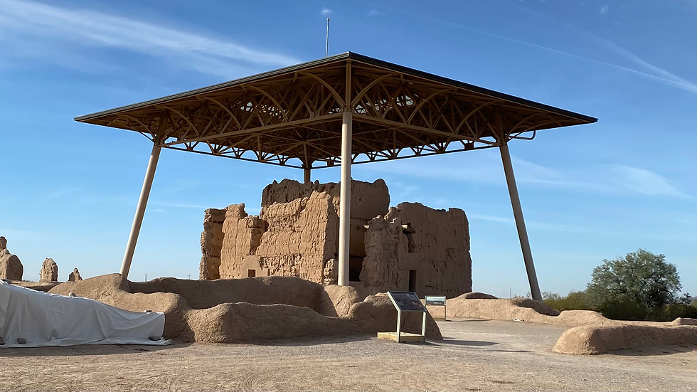
In 1889, Congress voted to protect Casa Grande from the vandalism and looting it experienced. Couldn't believe folks back then were etching their names into the walls of Casa Grande! Eroded foundations were repaired, and wooden beams and metal rods were installed in 1891 to help brace some of the walls. Three years later, Casa Grande was made the nation’s first archeological preserve.
After leaving Casa Grande NM, we made our way down to Saguaro National Park not knowing what to expect. The weather was on the warm side for November, and we had planned on making our way towards Chiricahua National Monument later that evening, if possible. Since temperatures and time were in play we opted to visit the western area of the park known as the Tucson Mountain District (TMD). Stopping at the Red Hills Visitor Center, we bought our park patch, got our park stamp, and a map. Taking the park ranger's advise, we set off to the park's scenic drive and hike the Signal Hill trail.
The hike up Signal Hill was easy going, but would definitely be a challenge for anyone using a cane or walker. Luckily for me, I had my service dog, Moose, to help me up some of the larger and steeper steps. Once we reached the top, we were blessed with incredible views of the valley and some great petroglyphs. The Saguaro cacti were amazing, it definitely reminded me of what you would see in old western movies. Did you know that it can take 10 years for a saguaro cactus to reach 1 inch in height?
On leaving the park, we decided to drive through Gilbert Ray Campground. This campground is conveniently located only 5 miles from the Red Hills Visitor Center. The campground has 130 campsites with electrical hook-ups, which must come in handy as there is no shade available, and people will definitely needed their air conditioners.
We continued on towards Chiricahua National Monument in Willcox, AZ, which was 136 miles from Saguaro NP. We knew we would be arriving close to sunset and while driving, we started looking on iOverlander for a dispersed campsite near the park. Turns out the Coronado National Forest borders the park and as we know, camping is free in National Forests. Finding a site only 7.2 miles from the Chiricahua NM entrance, we quickly made camp, started a fire, and made a quick and easy dinner before turning in for the night.
Helpful info:
Cottonwood Canyon dispersed camping site - GPS coordinates 33.19217, -111.25626
Gilbert Ray Campground - 8451 West McCain Loop Road, Tucson, AZ 85735


Comments